


Latest Video
News
-

Meteo Curacao uploaded a video (7/5/2024)
Meteorological Department Curaçao
-
Meteo Curacao uploaded a video (7/1/2024)
Beryl Yuli 2024
-

-
Meteo Curacao uploaded a video (5/13/2024)
Meteorological Department Curaçao
-
Meteo Curacao uploaded a video (11/20/2023)
Boletin semanal 20 Nov te ku 26 Nov 2023
Weather Warning
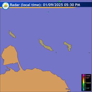
Radar
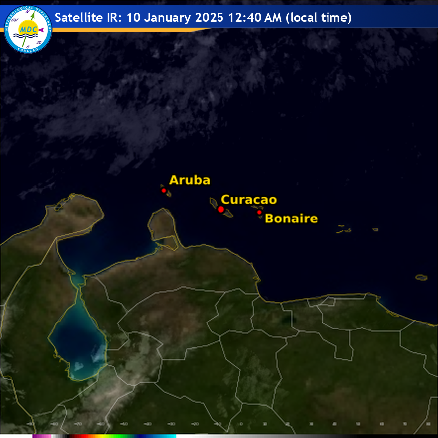
Satellite (InfraRed)
Forecast
Weather Forecast for Curaçao and surroundings valid until Saturday evening
18:00 l.t., June 13, 2026.
Issued:
Friday June 12, 2026, 17:50 l.t. (21:50 UTC).
Weather:
A CAUTIONARY STATEMENT FOR ROUGH SEAS IS IN EFFECT FOR ALL THE
COASTAL SECTIONS OF CURAÇAO.
Weather: Partly cloudy in general, mostly dry and breezy condition.
Forecast high will be 31ºC and the low will be 27ºC.
Sunrise will occur at 06:11 and sunset at 19:01.
Winds:
Easterly and moderate to fresh; force 4 to 5 (20 to 39 km/h, 11 to 21
knots). Occasional gusts to strong and near gale; force 6 to 7 (40 to 61 km/h,
22 to 33 knots).
Synopsis:
A tropical wave now leaving the area will continue to support
occasional cloudiness with at most, a slight chance of an isolated shower
through early tomorrow morning. Meanwhile, a strengthening ridge pattern across
the eastern Caribbean will bring drier weather, breezy to gusty winds, and a
brief period of elevated Saharan dust concentrations during the forecast period.
Sea conditions:
Moderate to locally rough with wave heights between 1.5 and 2
meters (4 and 7 feet). Wind driven waves will produce somewhat agitated seas
with wave heights reaching 2.5 meters (8 feet) open sea area.
Significant tropical weather systems:
None.
Special features:
None.
Outlook until Sunday evening:
Mainly partly cloudy skies are expected with a
slight decrease in wind speeds.
Forecaster:
Coffie
The next weather forecast will be issued on Saturday 05:00 l.t. (09:00 UTC).