


Latest Video
News
-

Meteo Curacao uploaded a video (7/5/2024)
Meteorological Department Curaçao
-
Meteo Curacao uploaded a video (7/1/2024)
Beryl Yuli 2024
-

-
Meteo Curacao uploaded a video (5/13/2024)
Meteorological Department Curaçao
-
Meteo Curacao uploaded a video (11/20/2023)
Boletin semanal 20 Nov te ku 26 Nov 2023
Weather Warning
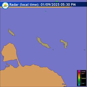
Radar
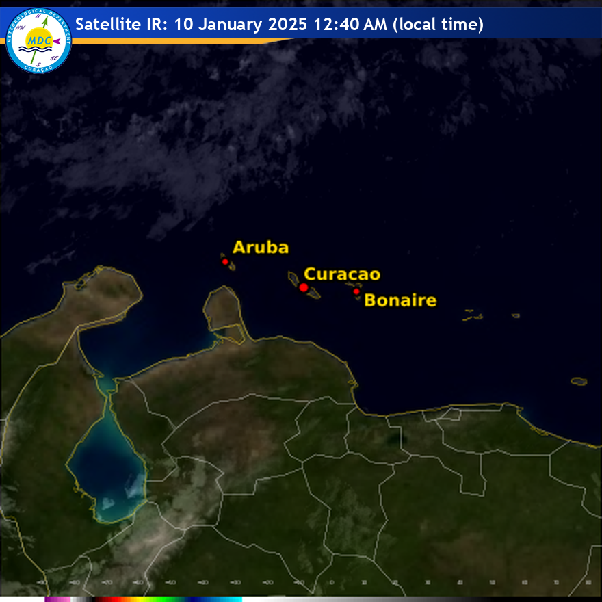
Satellite (InfraRed)
Forecast
Weather Forecast for Curaçao and surroundings valid until Saturday midday 12:00
l.t., June 13, 2026.
Issued:
Friday June 12, 2026, 11:00 l.t. (15:00 UTC).
Weather:
Partly cloudy to sunny and mostly dry with strengthening winds today.
Forecast high will be 31ºC and the low will be 27ºC.
Sunrise will occur at 06:11 and sunset at 19:01.
Winds:
Easterly and moderate to fresh; force 4 to 5 (20 to 39 km/h, 11 to 21
knots). Occasional gusts to strong and possibly near gale; force 6 to 7 (40 to
61 km/h, 22 to 33 knots).
Synopsis:
A tropical wave now leaving the area will continue to support
occasional cloudiness with at most, a slight chance of an isolated shower
through early tomorrow morning. Meanwhile, a strengthening ridge pattern across
the eastern Caribbean will bring drier weather, breezy to gusty winds, and a
brief period of elevated Saharan dust concentrations during the forecast period.
Sea conditions:
Moderate to locally fairly rough with wave heights between 1 and
2 meters (3 and 7 feet). Wind driven waves will produce somewhat agitated sea
conditions with wave heights reaching up to 2.5 meters (8 feet), mainly over the
northern, eastern and open sea area.
Significant tropical weather systems:
None.
Special features:
None.
Outlook until Sunday midday:
Mostly partly cloudy skies are expected with a
slight decrease in wind speeds.
Forecaster:
Coffie
The next weather forecast will be issued on Friday 17:50 l.t. (21:50 UTC).