

Latest Video
News
-

Meteo Curacao uploaded a video (7/5/2024)
Meteorological Department Curaçao
-
Meteo Curacao uploaded a video (7/1/2024)
Beryl Yuli 2024
-

-
Meteo Curacao uploaded a video (5/13/2024)
Meteorological Department Curaçao
-
Meteo Curacao uploaded a video (11/20/2023)
Boletin semanal 20 Nov te ku 26 Nov 2023
Weather Warning
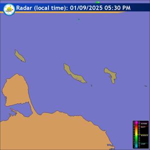
Radar
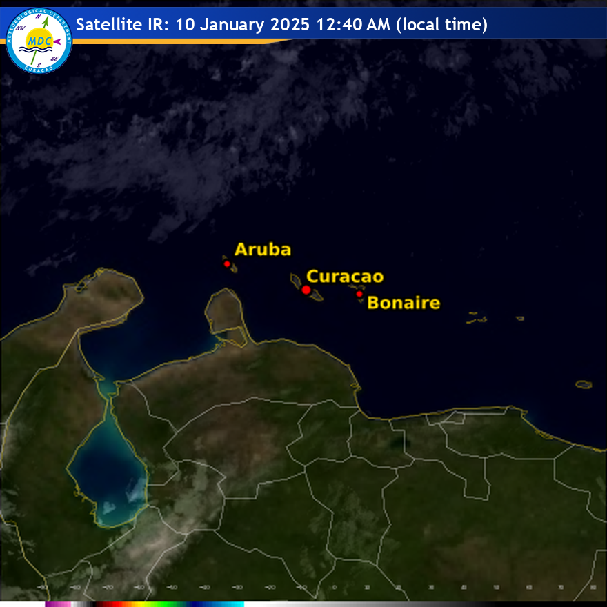
Satellite (InfraRed)
Forecast
Weather Forecast for Curaçao and surroundings valid until Tuesday evening 18:00
l.t., December 9, 2025.
Issued:
Monday December 8, 2025, 17:00 l.t. (21:00 UTC).
Weather:
By early tomorrow morning, there is a slight chance of a few brief
showers. For the remainder of the period, conditions are expected to be
predominantly dry and stable with light to partly cloudy skies and frequent
sunny intervals.
Forecast high will be 31ºC, and the low will be 25ºC.
Sunrise will occur at 06:45 and sunset at 18:11.
Winds:
Easterly and gentle to moderate; force 3 to 4 (12 to 30 km/h, 7 to 16
knots). Occasional gusts reaching fresh to strong at times; force 5 to 6 (31 to
50 km/h, 17 to 27 knots).
Synopsis:
The Atlantic subtropical high-pressure area continues to dominate the
region, maintaining easterly winds and limiting significant cloud development.
By early tomorrow morning, a few areas of increased moisture may allow the
development of a few local brief showers over our island. Otherwise, conditions
will remain predominantly dry and stable with partly cloudy skies.
Sea conditions:
Moderate with wave heights between 1 and 2 meter (3 to 6 feet).
The northern and eastern coastal waters will experience the highest waves.
Special features:
None.
Outlook until Wednesday evening:
Partly to mostly cloudy at times with a slight
chance of a local morning shower.
Forecaster:
Kasmani.
The next weather forecast will be issued on Tuesday 05:00 l.t. (09:00 UTC).